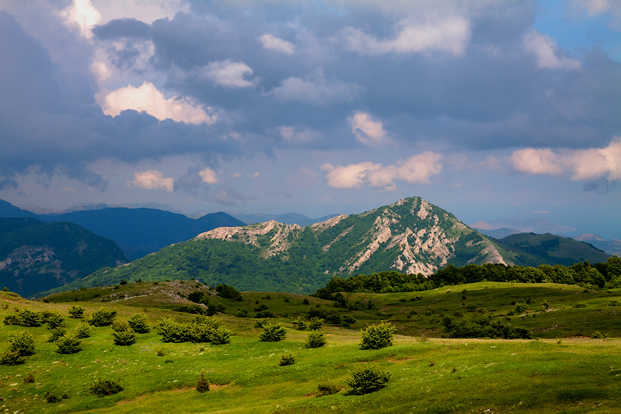
It bears a huge hilly highland, which is located in the southeastern Crimea. It is believed that this is the largest in area of all the yayls of the mountainous Crimea. It covers an area of approximately 120 square kilometers. Located at an altitude of 900-1000 meters above sea level, the highest peak, Kara-Tau, rises 1220 meters above sea level.
The highlands are believed to consist of two parts: the lower plateau, the largest in area, and the upper plateau, located in the southwest. It is also known as Kara-Tau. If you stand on the southern edge of Karabi-yayla, you can see a beautiful panorama of the Black Sea coast from Alushta to Privetny. The hiking trails here are perfect for testing your hiking skills. But if the group is led by an experienced hiking instructor who understands all the features of this hike, there will be nothing to be afraid of.
Description of Karabi-yayla
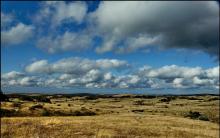
The yayla in question looks like a vast plateau, completely covered with grass and small groves of pine trees. The microrelief is represented by an abundance of various shapes - there are mounds, rocky ridges, dips, uplifts, and basins of various shapes and sizes. Walking along the plateau, you can even find dried out ones. In May and June, everything here is covered with flowers; in autumn, during the period of fog, frost-covered branches and silhouettes of trees shine through the haze. And winter in Karabi is a time of powerful elements and strong winds. 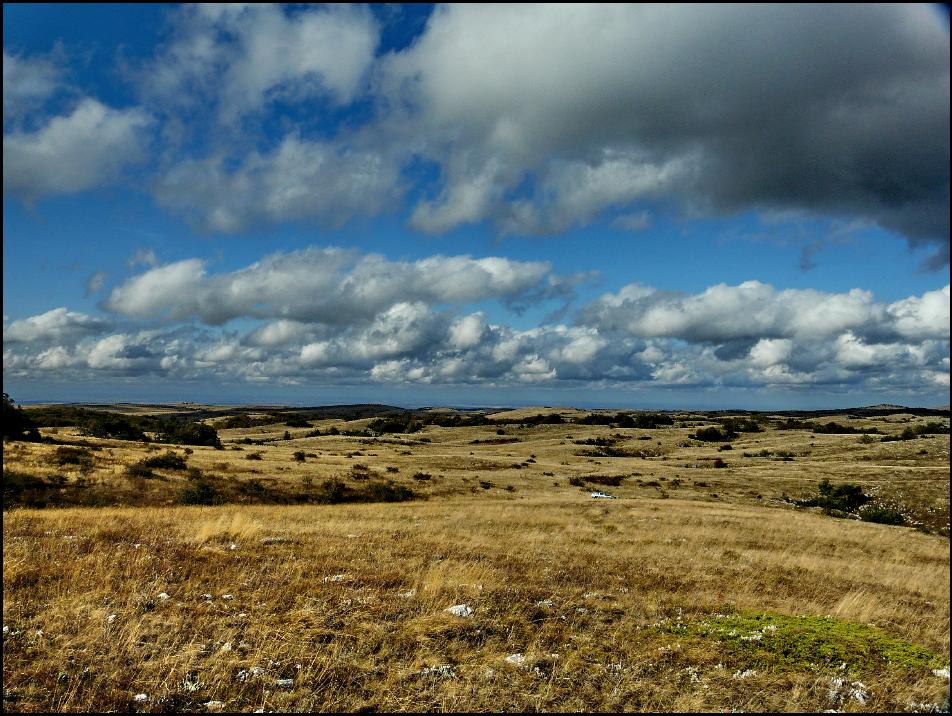
Here, on the plateau, there is a huge number of caves, mines and wells, or, as geologists call them, karst cavities. If you turn to the Cadastre of the Crimean Caves, there are a total of 128 of these openings. It is for this reason that Karabi is included in the geological, which is called “Mountain Crimea”. Speleologists love these places, and many are accessible to ordinary tourists. You don't need any special equipment to explore them. The deepest mines in Ukraine are located here: Soldatskaya (515 meters, ranked first) and Nakhimovskaya (400 meters, third place).
When traveling here, you should move with some caution. The fact is that the wind always blows here, the weather changes very quickly, literally every hour. And the area is quite cool, even in summer. The water needed on any hike is obtained exclusively on the outskirts of the plateau. But in winter there is nothing to do in Karabi. The entire plateau is covered with snow, and it is literally cut off from the “Mainland”.
The main local tourist landmark is the weather station of the same name, which is no longer operational. Its white buildings are visible from everywhere, as it is located in the center of the plateau, on a noticeable hill. Currently, it is equipped with a control and rescue post and a meteorological research station. If you are caught at night in Karabi, and you are not prepared for it, you can go to spend the night at this point of civilization.
How to get to Karabi
This highland fits into an imaginary quadrangle, the edges of which are located between Generalskoye - Mezhgorye - Privetny - Belogorsk. Its northern part is flat, and its southern part is steep. The yayla is located within the mountains of Crimea, separated from the west from neighboring massifs by the valleys of the Suat and Burulcha rivers, and from the east by Tanasu and Biyuk.
To get to Karabi, you will have to travel exclusively on foot. You should start from the village. Perevalnoye. From there we move to the Raspberry Stream, which is especially beautiful in the spring, and then we have to climb to the Dolgorukovskaya Yayla. Here you can meet wild horses that live a free life, without any shepherds. The path must be taken to the grove of taiga spruce trees, the only one in Crimea. The path runs through the forests where they once hid, and there you can still see the remains of ammunition.
Then the path goes to the Burulcha River, where the partisans had their headquarters during the war. Through the beech forest you can go out into a picturesque valley - this will be Karabi-yayla. There is also the source of the Su-At River. If you wish, you can climb to the highest point of the yayla, Mount Kara-Tau. Almost at its very top there is a wild cave called Terpi-Koba. You can spend the night in the gorge, where huge spreading beeches will guard your sleep.
This territory contains several state-designated natural monuments and reserves. This is a botanical site of the same name with a huge number of medicinal plants and a georeserve of the karst Crimea. There are no natural landmarks here; small hills stretch from west to east. In the center of the southern half of the plateau is the Irtysh, a small forested mountain. To the east of it is Egiz-Tinakhskaya, and on it there is a chain of shallow lakes.
If you look at Karabi from above, the yayla will resemble the lunar surface. This similarity is due to the abundance of karst sinkholes, almost each of which will have a cave. Tourists who wandered around the highlands for a long time really began to feel like they were on the set of some science fiction film. And if you get to the edge of the plateau, you can see a completely earthly sea, mountain slopes, gardens, scatterings of houses and roads stretching into the distance. We advise you to visit this unique area, another pearl of the magnificent Crimea.


The most beautiful motorcycles in the world
Which sea is the cleanest in the world?
Top 10 Most Expensive Furs
The largest and most luxurious casinos in the world
Knightly orders of Europe XI - XIII centuries